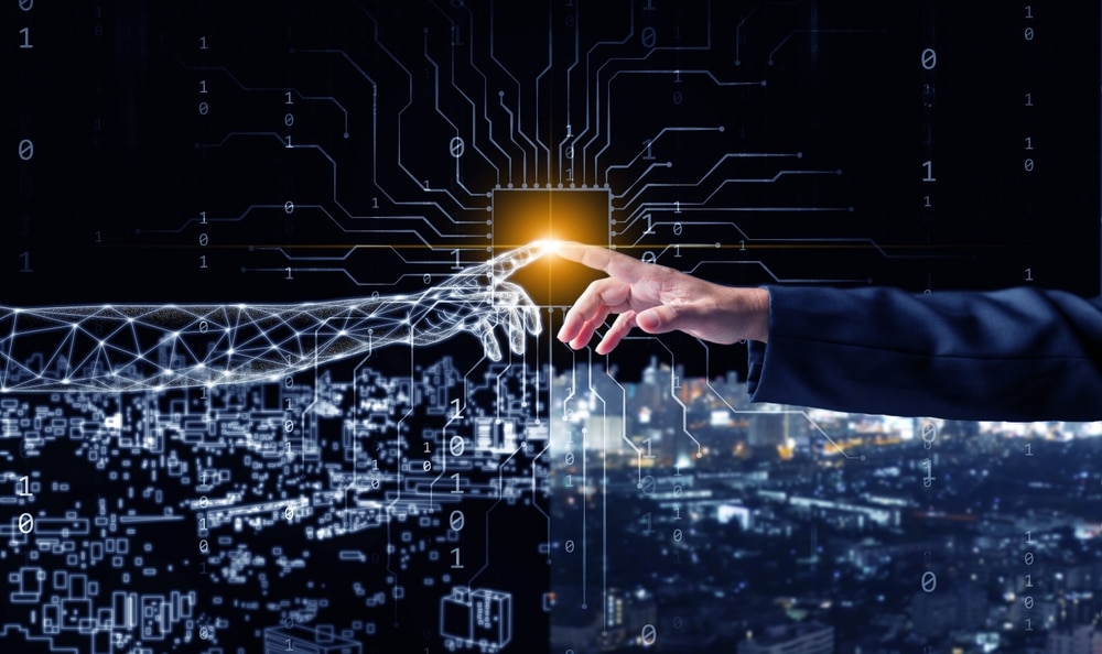
Traffic lights change, water pumps switch on and maintenance teams receive warnings about equipment that has not failed yet. Meanwhile, urban planners test whether a new tower will block sunlight, worsen congestion or funnel strong winds onto the pavement.
Increasingly, digital twins technology is helping to make these decisions. It gives city officials a virtual version of the real world in which they can monitor current conditions, explore possible changes and spot problems before they become expensive emergencies.
The name may sound like science fiction, but most city digital twins do not resemble a shiny metaverse. They usually operate quietly on planners’ screens, combining maps, building models, sensor readings and public records. You may never see one, even when it affects the street outside your home.
What Is a Digital Twin?
A digital twin is a digital representation of a real object, place, system or process. A city twin might represent a single bridge, a transport network, a neighbourhood or an entire urban area.
The simplest versions start with a three-dimensional map containing roads, buildings, trees and infrastructure. More advanced twins receive updated information from traffic counters, weather stations, utility networks, satellites and Internet of Things sensors.
That flow of information separates a proper digital twin from a decorative 3D model. A standard model shows what a place looks like. A digital twin can also show what is happening, investigate why it is happening and simulate what might happen next.
Imagine a virtual neighbourhood containing the heights and positions of every building. Planners could add a proposed tower and calculate the shadows it would cast throughout the year. If the model also contains weather, energy and population data, they could examine wind conditions, cooling requirements and the number of people likely to use nearby transport.
The twin does not predict the future with perfect accuracy. It creates an informed testing ground based on available information and a set of assumptions.
A City Model That Never Quite Sleeps
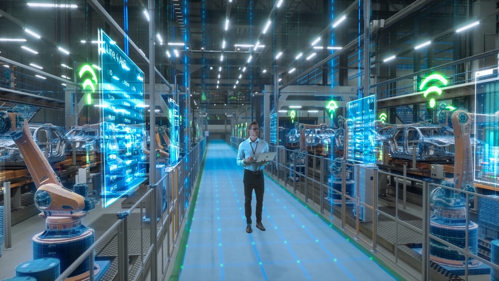
Modern cities already produce enormous quantities of data. Buses report their locations, drainage systems measure water levels and environmental stations track temperature and air quality. Planning departments hold detailed information about buildings, while utility companies map pipes and electrical assets.
A digital twin brings some of these disconnected sources into a shared environment.
Depending on its purpose, a city twin might contain:
- Street layouts, buildings and terrain
- Traffic volumes and public transport movements
- Air quality, rainfall and temperature readings
- Water, electricity and communications infrastructure
- Construction projects and temporary road closures
- Energy consumption estimates
- Trees, parks and other green spaces
- Historical records and planning applications
The model changes as new information arrives. A broken sensor, delayed data feed or outdated building record can therefore weaken the twin. It may look impressively complete on screen while still containing important gaps.
No city has a flawless virtual copy of everything happening within it. Most projects focus on specific jobs, such as managing traffic or testing flood defences.
Traffic Can Be Tested Before Streets Are Changed
Transport is one of the clearest uses for urban digital twins. Changing a junction in the real world is disruptive and expensive. Changing one inside a simulation takes much less effort.
Planners can model a new bus lane, altered traffic-light sequence or pedestrian crossing and watch how simulated travellers respond. They can examine whether cars shift onto surrounding streets, whether buses become more reliable or whether cyclists encounter new conflicts.
Helsinki has been developing a mobility twin that combines information about physical infrastructure, traffic and current conditions. According to the City of Helsinki’s mobility project, the system can incorporate details ranging from street layouts and bus-stop accessibility to air quality, construction work and the movements of pedestrians and cyclists.
This does not mean software automatically decides where a cycle lane should go. It means planners can compare more consequences before recommending a decision.
The same approach can help during major events. A city could model what happens when thousands of people leave a stadium at once, a railway station closes or a central road becomes unavailable. Emergency planners can then identify likely bottlenecks and position staff or temporary signs accordingly.

Buildings Can Be Examined Before They Exist
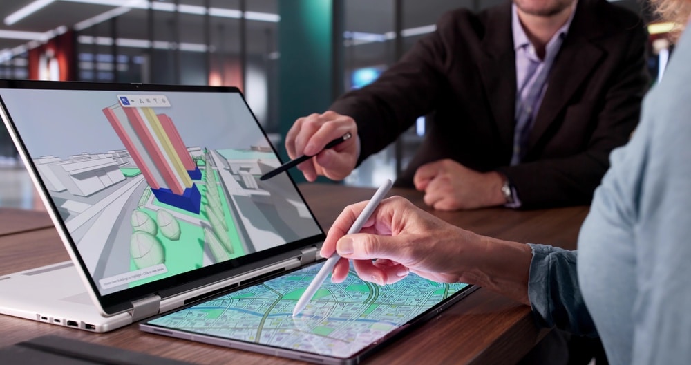
Architectural plans can be difficult to interpret without technical experience. Once a proposed building is placed inside a city twin, its relationship with the surrounding area becomes much clearer.
Officials and residents can inspect how it would appear from different streets. Software can estimate its effect on sunlight, wind and views. Planners can also test several designs without building physical models for each option.
Helsinki’s wider 3D programme describes its digital twin as a mixture of city models, open data and updating information. Its publicly accessible Helsinki 3D resources include models that can be used to measure distances, elevations, areas and volumes.
This has practical uses beyond deciding whether a tower looks attractive. Models can help estimate how much sunlight reaches a roof, where solar panels may perform well or how air moves between buildings during hot weather.
They can also reveal conflicts below ground. A planned foundation may look straightforward until the model shows pipes, cables, tunnels and older structures occupying the same space.
Floods and Heat Become Virtual Problems First
Climate change is making urban planning more difficult. Cities must prepare for heavier rainfall, flooding and extreme heat while working with limited space and ageing infrastructure.
A digital twin can combine terrain, drainage and weather information to simulate where water may accumulate during a storm. Planners can then compare possible responses: larger drains, temporary water-storage areas, permeable paving or redesigned public spaces.
The same principle applies to heat. A model can identify areas with large amounts of dark paving, limited shade and poor air movement. Officials can test whether trees, green roofs, lighter surfaces or altered building layouts might reduce temperatures.
These simulations are particularly useful because climate measures can interact with other city systems. A row of trees may provide shade but also affect underground utilities, road visibility and maintenance access. A flood basin may work technically but remove space currently used for recreation.
A twin makes these conflicts visible earlier. It cannot settle every debate, but it can prevent discussions from relying entirely on intuition.
Infrastructure Can Report Its Own Problems
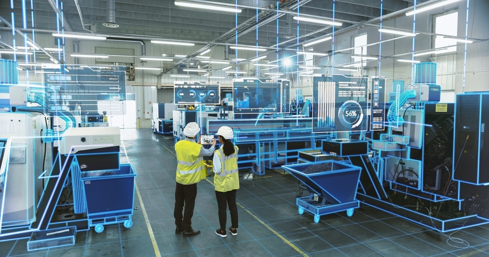
Some digital twins concentrate on individual assets rather than whole cities. Bridges, tunnels, railway stations, ports and water networks can all have their own virtual counterparts.
Sensors attached to a bridge might record vibration, movement, temperature and structural strain. Engineers can compare those measurements with the twin’s expected behaviour. An unusual pattern may signal that an inspection is needed.
This is known as predictive maintenance. Instead of replacing equipment according to a rigid timetable or waiting for it to fail, operators use data to judge when attention is most useful.
The potential savings are significant, but the method depends on reliable sensors and sensible interpretation. A faulty device can produce a false warning, while a limited sensor network may miss a problem occurring elsewhere. Human inspections remain essential.
Ports offer another example. Singapore launched a maritime digital twin in 2025 to support planning, safety and risk management. The country’s Maritime and Port Authority describes it as a virtual model designed to provide data-driven insight into port operations.
In a busy harbour, the technology can help teams understand vessel movements and explore operational scenarios without experimenting with real ships in real shipping lanes.
Digital Twins Are Becoming Connected
Early city twins were often isolated projects created for one department. A planning team might have a detailed building model while the transport department operated a separate traffic platform and the water authority maintained its own maps.
The current push is towards interoperability: allowing different systems to exchange information without forcing cities to rebuild everything on one commercial platform.
The European Union is supporting this approach through local digital twin programmes. Its Local Digital Twin Toolbox provides open-source, modular tools intended to help cities integrate data, run simulations and avoid becoming dependent on a single vendor.
Eventually, connected twins could allow neighbouring authorities to model issues that ignore administrative borders. Traffic, air pollution, rivers and energy networks do not stop at the edge of one municipality.
However, connecting more systems also creates more opportunities for bad data, incompatible standards and security failures. A larger model is not automatically a better one.
The Technology Is Only as Good as Its Data
A digital twin can produce a confident-looking answer even when its input is incomplete. This is one of the technology’s most important limitations.
Traffic data collected from connected vehicles may underrepresent people using older cars, walking or cycling. Mobile-phone information can reveal movement patterns while still missing people who do not carry smartphones. Building databases may contain outdated renovations, and sensors are not distributed equally across every neighbourhood.
These gaps matter. If a model undercounts pedestrians in a low-income district, a transport simulation could underestimate the value of safer crossings there. If tree data are incomplete, a heat model may fail to represent the conditions residents actually experience.
Simulations also contain assumptions about human behaviour. People do not always choose the fastest route or respond predictably to a new service. A twin can estimate what might happen, but it cannot perfectly recreate millions of individual decisions.
Officials therefore need to explain the model’s limitations rather than presenting its output as unquestionable fact.
Privacy and Security Cannot Be an Afterthought
A city twin does not need to display residents’ names to create privacy concerns. Movement patterns, transport records and data from connected devices can become sensitive when several sources are combined.
The central questions are straightforward but difficult: Who owns the information? How long is it stored? Who can access it? Can it be reused for a different purpose? What happens if a private supplier controls the platform?
Strong governance can reduce these risks through data minimisation, access controls, independent oversight and clear rules about acceptable use. Where possible, models should work with aggregated or anonymised information rather than following identifiable individuals.
Cybersecurity matters too. A detailed model of roads, utilities and public assets could be valuable to attackers. If a twin connects directly to operational systems, a breach might create risks beyond stolen data.
The US National Institute of Standards and Technology has published guidance on security and trust in digital twin technology, highlighting issues such as access control, maintenance, risk assessment and the reliability of connected systems.
Cities must treat a twin as important infrastructure, not merely an impressive visualisation for public presentations.
A Simulation Should Not Replace Public Debate
Digital twins can make planning more understandable. Residents may find it easier to react to a virtual version of a proposed square than to a folder full of technical drawings.
The danger comes when participation is reduced to watching a polished simulation after the important choices have already been made.
A model can show that one road design moves cars faster, but it cannot decide whether faster car journeys should be the city’s priority. It can estimate the financial value of a development, but it cannot determine whether residents consider the loss of a familiar public space acceptable.
Those are political and social decisions. Technology can clarify the trade-offs, but it should not hide them behind an algorithm.
Useful twins should allow competing scenarios to be explored. Residents should be able to understand which data and assumptions were used, particularly when the model influences housing, surveillance, transport or access to public services.
The Invisible Operating System of the City
Digital twins are unlikely to become all-knowing virtual cities that control every traffic light and water pipe without human involvement. The more realistic future is quieter.
Different twins will monitor bridges, predict traffic, model floods, estimate building energy use and help planners explain developments. Some will communicate with one another, while others will remain specialised tools.
For residents, the results may appear ordinary: fewer surprise roadworks, better-positioned trees, quicker repairs or a bus route that handles demand more effectively. The technology itself may remain almost invisible.
That is why digital twin technology is already so influential. Its biggest impact is not a futuristic virtual skyline. It is the ability to test a decision before concrete is poured, streets are closed or public money is committed. Cities will still need engineers, planners, elected officials and public debate—but increasingly, their first version of tomorrow will be built on a screen.